One of the World’s Safest Place to Travel

Finland is the fifth happiest country in the world the country is trending more than ever. But now, it has been named the world’s safest nation.

It is the prominent North European country bordered by Baltic Sea, Gulf of Bothnia, and the Gulf of Finland.

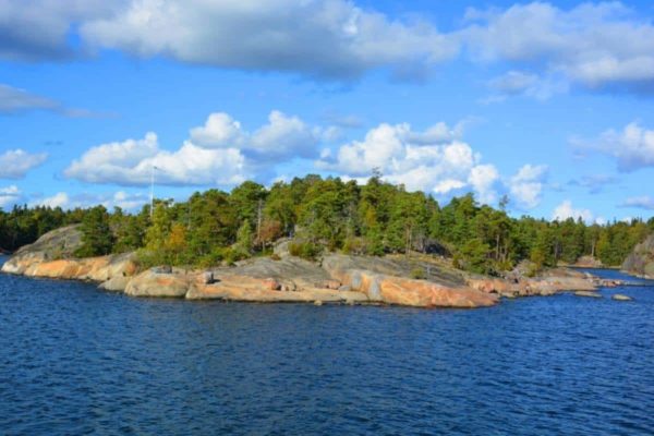
Rich in Islands

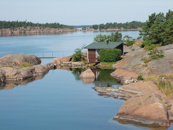
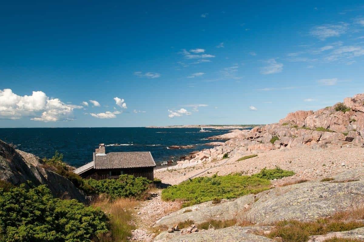
If you are wondering how many lakes and islands in Finland or how many islands does Finland claim to? Well, there are around 789 islands in Finland and its nearby areas of which 455 have been inhabited by the local population, and the rest remains unexplored.

For the lakes, the count comes to approximately 187,888.

FIND YOUR BELOVED DESTINATION


ÅLAND


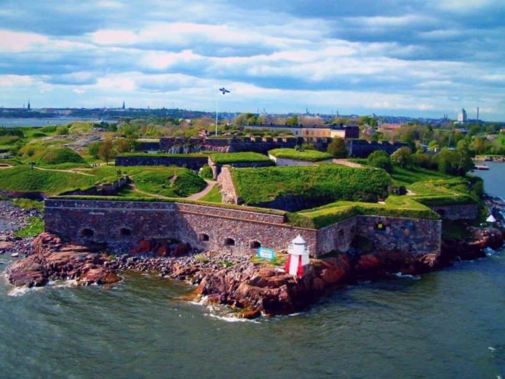
SUOMENLINNA


PIHLAJASAARI


VARTIOSAARI


KEMIÖNSAARI


HAILUOTO


RAIPPALUOTO


VÖYRI

READ MORE....

ÅLAND

Åland islands are a group of islands lying at the mouth of the Gulf of Bothnia in the Baltic Sea in Finland.

The archipelago covers a tiny part of Finland being the smallest group of islands. The island group includes 6,700 islands approximately.

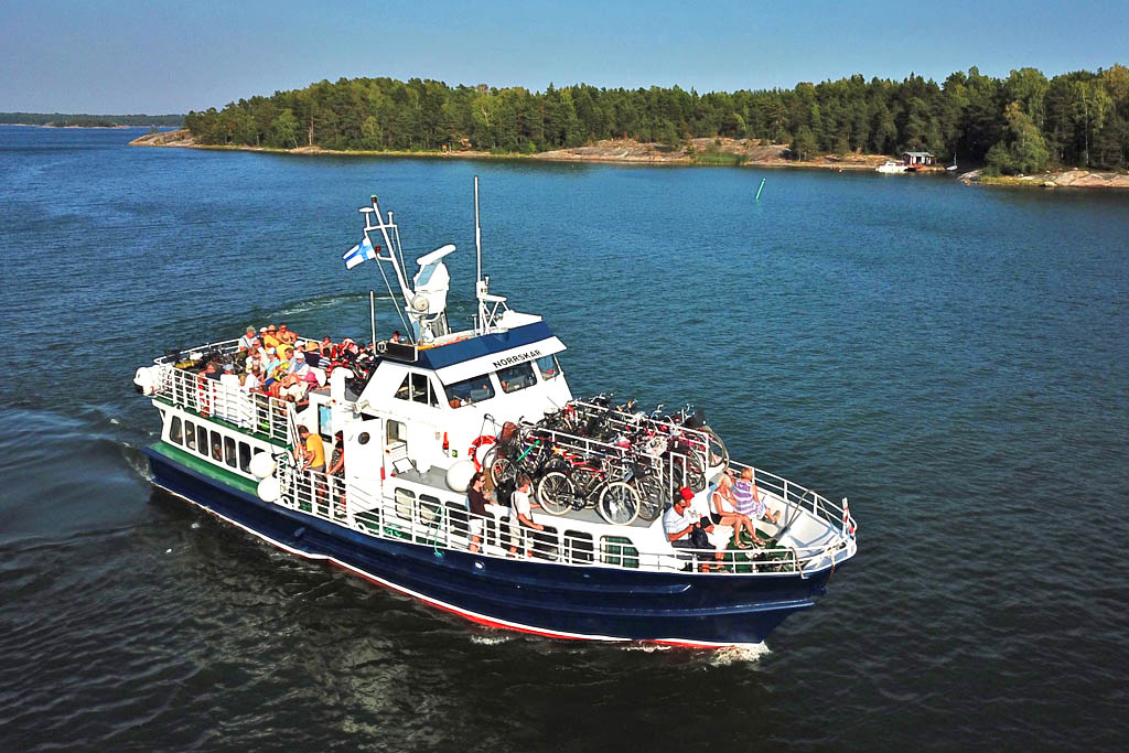
It is a hub of adventure offering activities for the tourists like fishing, boating, golfing, island hopping with the help of connected bridges and ferries, sightseeing and various other activities.

SUOMENLINNA

is an ancient fortress in Finland which is also a major tourist attraction and lies on six islands- Kustaanmiekka, Suisaari, Iso-Mustasaari, Pikku Mustasaari, Lansi-Mustasaari, and Langoren.

The destination also ranks in the UNESCO world heritage site list due to its rich historical importance.

 The island archipelago can be best explored by ferry ride from Helsinki having vivid environmental beauty in six different areas.

The island now is the most famous attraction in Finland due to its rich historical background and houses six museum with 13 restaurants and cafes for the visitors.

PIHLAJASAARI
Pihlajasaari is a former villa island, which today is a versatile outdoor area for Helsinki residents. There are still some old villas on the island and its nature consists of cliffs, woods, groves, cliffs and sandy beaches. The diverse nature, good location and functional services have made Pihlajasaari the most popular summer island in Helsinki.
 
Sunbathers and swimmers are particularly attracted to the sandy beaches of Pihlajasaari. Many of the island’s buildings are protected sites. There are actually two islands, Pihlajasaari to the west and east, but the footbridge connects them. The islands have a total area of about 26 hectares.
VARTIOSAARI

It is a beautiful and unspoiled island located in the inner group of islands in Eastern Helsinki between Laajasalo and Tammisalo covering an area of 1 sq.km.

The island has awe-inspiring scenic beauty, the most exciting part is its kayak, and ferry ride as the island in no way is connected to any bridges to be walked by foot or be traveled by any vehicle.

The most beautiful attraction of the island is the Viikinkikallio cliff that offers a breathtaking view of the entire island.

READ MORE....

KEMIÖNSAARI

A historic cultural environment is well worth a visit all year round. The municipality of Kemiönsaari consists of about 3,000 islands and islets, of which about 30 are inhabited all year round.

It’s your gateway to the world’s most beautiful archipelago – the Archipelago National Park. Our archipelago is also part of the

 Archipelago Sea Biosphere Reserve, one of the two UNESCO biosphere reserves in Finland. The new coastal cycle route that combines the forest and lake landscapes of Teijo National Park and the magnificent archipelago landscapes of the Archipelago National Park.

HAILUOTO

Hailuoto is known for its unique nature and national landscape – an island in itself. As a result of the post-glacial land uplift, the island began to emerge less than 2,000 years ago and continues to grow about one centimeter a year. Sand, wind, sea and people have shaped the island to its present form.

The traveler or group can travel independently on the hiking trails, viewing the sights and beaches. At the western end of Hailuoto there is an old lighthouse (1871), an interactive nature exhibition and wonderful beaches. In the Kniivilä Museum you can learn about the history of Hailuoto. History is also present in the fishing-oriented peasant museum.

The island is a birdwatching bird paradise. Birds can be viewed from bird towers, beaches and forests. Hailuoto is also known for its emu garden. It is easy to get to know the island with a guide.

RAIPPALUOTO

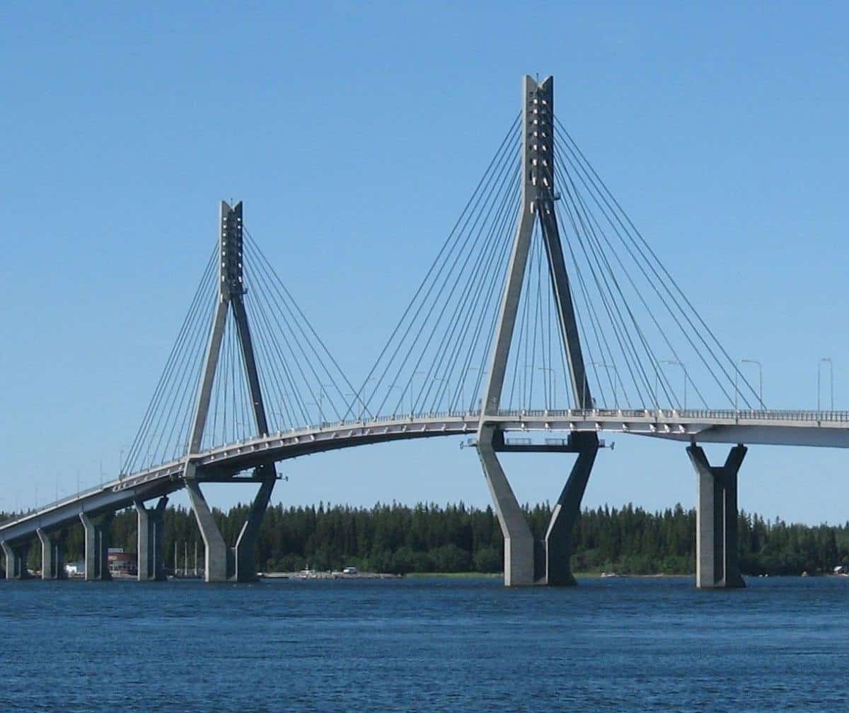
Raippaluoto Church Village is today a growing archipelago village with about 350 economies. In the old days most of the houses were clustered around the present village center, but nowadays the settlement extends from the Raippaluoto bridge to the embankment between Raippaluoto and Björkö.

The village also grows south, closer to Norra Vallgrund. Raippaluoto Church Village is the center of the former Raippaluoto municipality. The municipality of Raippaluoto was merged with the municipality of Mustasaari in 1973.

VÖYRI

The Ostrobothnian Museum is located in Marianpuisto Park, about 15 minutes’ walk from Vaasa Market Square. The museum was founded in 1895 and it serves as the historical museum of the city of Vaasa and the Ostrobothnian Natural History Museum. The museum’s main areas of activity are cultural history, art and science.

 The Ostrobothnian Museum hosts about 3-5 temporary exhibitions each year. In addition to temporary exhibitions, there are three permanent exhibitions of collections. The Hedman floor features antiques and art, the Vaasa 400 is an urban history exhibition and the Terranova exhibition presents Kvarken wildlife and world heritage.

Explore the beauty

kustavi

The sea sparkles on the horizon in the Archipelago Sea. The steepest fracture valleys of the Gustavian soils, the deepest of which is Stromme. The harshness is also evident on the slopes of the rocky islands, as well as the lichen and mossy cliffs, which can rise up to about 20 meters straight. Birds like geese, geese and eagles, which Bongars will admire, also thrive in Gustavian wildlife.

Perämeren saaret

The Gulf of Bothnia region is made up of dozens of islands that are quite separated from one another in the long coastline between Oulu and Kemi between Hailuoto and the Gulf of Bothnia National Park. Many of the islands used to be fishermen’s bases and landmarks and have been equipped with service facilities for those who travel to the sea.


The Bothnian Islands are ideal for a day or two boat trip, and the mainland islands are popular winter ski destinations. The most accessible islands, Iin Röyttä and Satakar, are managed by old pastures and hills. The islands of the outer archipelago are mainly barren and rocky bird islands and islets, while closer to the coast, the islands are more lush and wooded. The area’s rich bird life is well worth a visit.